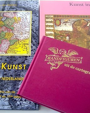
Heel netjes allemaal, merci
查看翻譯亞洲, Japan / 66 Provinces named in Sino-Japanese characters; Henri Abraham Chatelain - L'Empire du Japon, Tiré des Cartes des Japonnois. - 1701-1720
編號 65132537


In uitstekende conditie.
Voldoende marges. Met middenvouw, zoals uitgegeven.
Enkele kleine vlekjes.
Mooi exemplaar, papier fris van kleur.
Verso blank.
A fine example of Henri Chatelain's edition of Adrien Reland's important map of Japan.
Reland's map of Japan represents a radical departure from prior European maps of Japan and is the first map printed in Japan to use Sino-Japanese characters. Instead of following prior European maps and geographical sources, Reland utilized Japanese maps, most notably a map from the library or Benjamin Dutry, a former director of the Dutch VOC (East India Company). In some respects, this represented a tremendous leap forward in the geographical depiction of Japan, such as in the treatment of Kyushu and in naming the 66 provinces.
The map first appeared in 1715 in volume 3 of Jean Frederic Benard's Recuiel de voiages. Chatelain copied Reland's map in 1719 for his Atlas Historique, although there are a few translation errors from the original. It was thereafter reissued by Reland and Wilehm Broedelet in a larger format in 1715, for inclusion in folio atlases. The plates from the enlarged edition were purchased by Joachim Ottens in about 1720 and thereafter reissued under his name and later the names of his sons, Josua and Reiner.
Large inset of the area around Nagasaki and an ornate dedication cartouche, with about 20 coats of arms.
#exclusiveselection_december2022
- 21
- 0
- 0
Prima transactie. Wel vreemd dat er tevoren per mail geen enkel bericht kwam over wanneer ik het pakket kon verwachten. Maar verder helemaal tevreden!
查看翻譯A good item, accurately packaged, thank you
查看翻譯Pakket was verkeerd bezorgd, maar daar kon de verzender niets aan doen. Ik ben heel erg blij met dit boek. Goed verpakt.
查看翻譯goed verpakt
查看翻譯A very good item, a very accurate packaging, thank you!
查看翻譯Everything worked well
查看翻譯Niets aan toe te voegen.
查看翻譯Zending snel en uitstekend goed verpakt geleverd!
查看翻譯als beschreven in goede staat snel verstuurd en goed ingepakt. dank!
查看翻譯


