欧洲 - 意大利 / 蒂罗尔; Alexis Hubert Jaillot - Le Comte de Tirol, Les Evesches de Trente et De Brixen - 1701-1720
编号 85374537

编号 85374537
Hydrographic Map Of Mediterranean Sea 1764 Carte De La Mer Mediterranee. VIII Feuille of Maps and Plans of the Navy For the Service of the Vessels of the King. By order of the Duc de Choiseul Colonel General of Switzerland and Graubünden,
large-format engraved chart of the Bay of Greece, Italy & Libia, - Mediterranean Sea, prepared for the French Navy and Depot de la Marine by Jacques Nicolas Bellin.
The chart has considerable terrestrial detail in addition to the bathymetric information. It also includes extensive remarks on entering Cadiz by water.
In the year this chart was published, 1764, the British Royal
Dimensions 81 x 64 cm
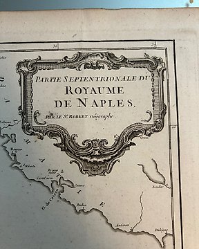
Condition: good. The map has some wear over the years.
Please look carefully at the photos and condition.
Insured shipping.