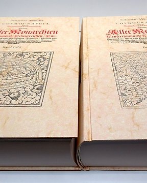
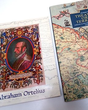
Objekt einwandfrei! Probleme durch die Post durch mehrwöchige Lieferzeit und unverständliches Tracking.
Vizualizați traducereaLumea - Viziunea lui Strabon asupra lumii cunoscute în antichitatea clasică; Printed for John and Paul Knapton 1747. - Strabo’s map of the ancient world: Veteris Orbis Climata ex Strabone - 1721-1750
Nr. 85639039


Good impression on laid paper. Phoenix / Dove watermark.
A map of Strabo’s map of the ancient world ‘Veteris Orbis Climata ex Strabone’ from Christophe Cellarius’ ‘Geographia antiqua: being a complete sett of maps, of antient geography, beautifully engraved from Cellarius. Designed for the use of schools, and of gentlemen, who make the antient writers their delight or study’. London Printed for John and Paul Knapton 1747.
First English edition with a focus on the ancient world. Illustrated with these bold double-page engraved maps by R.W. Seale and W.H. Toms covering the three divisions of the ancient world: Europe, Asia and Africa. On the maps two different typestyles, italic and roman, are used to distinguish between ancient and modern place names.
Condition is reasonable. Creases.
- 128
- 4
- 0
Magnifique !
Vizualizați traducereaExcellent
Vizualizați traducereatutto ok,
Vizualizați traducereaThank you for these lovely pages! The package was perfectly wrapped and delivered on time. Thank you!!
Vizualizați traducereaL'acquarello bello, descrizione perfetta, Grazie
Vizualizați traducereaBelle impression, je suis ravie
Vizualizați traducereaKO All O.K. Thank yoi.M.M. Uni All O.K.Thank you. M.M.
Vizualizați traducereaA very good clean print, exactly as described and well packed.
Vizualizați traducereaParfait !
Vizualizați traducereavery beautiful !
Vizualizați traducereaA good copy of a print which was as described, if you read it all carefully. Well packed but not speedily sent.
Vizualizați traducereaPerfect!!!
Vizualizați traducereawszystko ok,dziękuję
Vizualizați traducereaExcellent
Vizualizați traducereaZeer goed verpakt en in prima staat ontvangen. Hartelijk dank!
Vizualizați traducereaPièce de qualité, envoi soigné, mais avec taxes non prévues…
Vizualizați traducereaExpédition rapide et emballage soigné. Merci
Vizualizați traducereaFully satisfied with purchase
Vizualizați traducereaHi! Everything all right. Thank you. Best Regards
Vizualizați traducereaNice object; faithful to the presentation at auction. Excellent packaging and fast shipping. I am satisfied with the purchase. Thanks.
Vizualizați traducereaAll's is ok
Vizualizați traducereaTutto ok
Vizualizați traducereaTutto perfetto! Ottimo venditore
Vizualizați traducereaPerfect!!!
Vizualizați traducerea- 128
- 4
- 0
Objekt einwandfrei! Probleme durch die Post durch mehrwöchige Lieferzeit und unverständliches Tracking.
Vizualizați traducerea


