Możesz ustawić swoje preferencje dotyczące plików cookie, korzystając z poniższych opcji. Możesz zaktualizować swoje preferencje, wycofać swoją zgodę w dowolnym momencie i zobaczyć szczegółowy opis rodzajów plików cookie, które my i nasi partnerzy stosujemy w naszej politykę plików cookie .
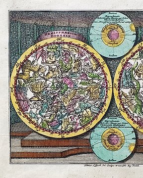
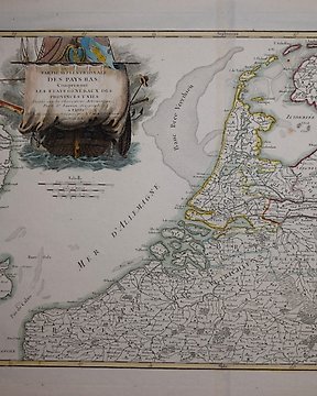
Mapy
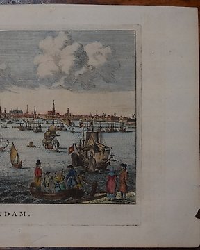
Ten przedmiot nie jest już dostępny, ale wciąż mamy wiele do odkrycia