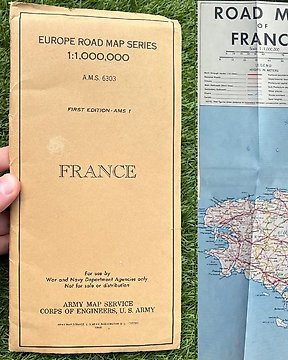
WW2 US Army Normandy / France Engineers Road Map, Kaart - Infantry - Airborne - Normandy Beaches - 1944
Nr. 84459937

Nr. 84459937
Fantastic period published German map, published in october 1941 and details Europe and the overview at that time of Africa, including the colonial borders. The map is nicely detailled and gives a fascinating look into the situation in 1941. Would be great to frame and display. In used condition, see photo's as they are part of the description, the map has some transparent tape repairs, see photos.
100% original item for your German WW2 collection!
See also our other interesting WW2 items that we offer for auction on catawiki!
Zo koop je op Catawiki
1. Ontdek iets bijzonders
2. Plaats het hoogste bod
3. Veilig betalen