Nederland, Kaart - Gelderland, Zupthen; N Geelkercken / I Pontanus / J Janssonius - Comitatus Zutphaniae; sive Ducatus Gelriae Tetrarchia Zutphaniensis. - 1639
Nr. 84391089

Nr. 84391089
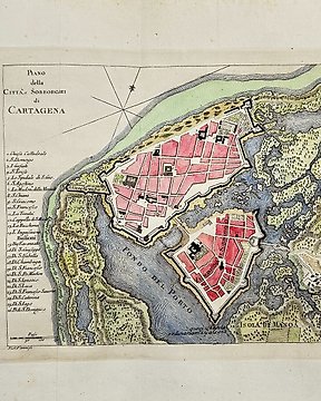
Map of the British Isles
This hand-coloured copper engraving published by the renowned cartographer Rigobert Bonne, who was "the Royal Hydrographer of France" originates from ”Histoire Universelle”, about 1760.
Rigobert Bonne (1727-1795) was a prominent French cartographer known for his detailed and accurate maps during the 18th century. He served as the Royal Hydrographer of France, a prestigious position responsible for creating nautical charts and maps for the French navy. Bonne's work is characterized by its precision and clarity, making significant contributions to the fields of geography and cartography. His maps were widely used and included in many notable atlases of the time, cementing his legacy as a leading figure in cartographic history.
Dimensions:
20 cm x 31 cm
Artist or Maker
Rigobert Bonne
Medium
Copper Engraving
Date
1760
Condition Report
This work is in very good to excellent condition overall. Please review the images carefully for condition and contact us with any questions.
This item is professionally protected by handmade packing.
The Certificate of Authenticity is included.
Zo koop je op Catawiki
1. Ontdek iets bijzonders
2. Plaats het hoogste bod
3. Veilig betalen