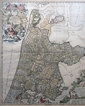
Europa, Mappa - Paesi Bassi/Olanda Settentrionale/Frisia Occidentale; N. Visscher - Kennemaria et Westfrisia vulgo et vernaculé NOORD-HOLLAND tam in minores quam Præcipuas (…) - 1678
N. 85407057

N. 85407057
The map is shipped without a frame.
Image size: 34 x 23 cm
Condition: good. Adequate margins. With centrefold as issued.
Nice, sharp print with beautiful colouring.
Verso blank.
Hand-laid paper.
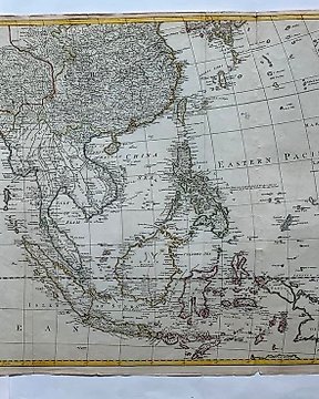
Attractive 18th Century map of the Eastern Mediterranean and Eastern Part of the Roman Empire, published by Rigobert Bonne, the Royal Hydrographer. Bonne's atlas, which was issued in several editions, was one of the most commercially successful atlases of the 18th Century.
Come fare acquisti su Catawiki
1. Scopri oggetti speciali
2. Fai l’offerta più alta
3. Paga in tutta sicurezza