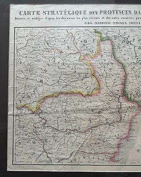
Románia, Térkép - Bulgária, Románia, Moldávia, Ukrajna, Krím - Strategic map of the Danubian principalities and the Crimea - 1851-1860
Nr. 85298251

Nr. 85298251
Antique celestial map titled 'Tableau Synthétique de Cosmographie.' Large hand-coloured print depicting the planetary systems of the world. This map originates from 'Atlas de Géographie Moderne Physique et Politique' by A. Levasseur. Published in 1875.
Auguste Levasseur was a French cartographer and engraver active in the first half of the 19th century. He is known for his meticulously crafted and artistically decorated maps, which included not only geographical data but also elements of decorative art. One of his most famous works is the "Atlas National Illustré des 86 Départements et des Possessions de la France," which featured detailed maps of the French departments and colonies. Levasseur's works are highly valued by collectors for their historical and artistic significance.
Dimensions:
47.5 cm x 61 cm
Medium:
Engraving
Artist or Maker:
Auguste Levasseur
Date:
1875
Condition Report
This work is in good condition overall. Please review the images carefully for condition and contact us with any questions.
This item is professionally protected by handmade packing.
The Certificate of Authenticity is included.
Hogyan vásárolhatok a Catawiki-n?
1. Fedezzen fel valami különlegeset
2. Tegye meg a legmagasabb licitet
3. Fizessen a biztonságos és védett rendszert használva