
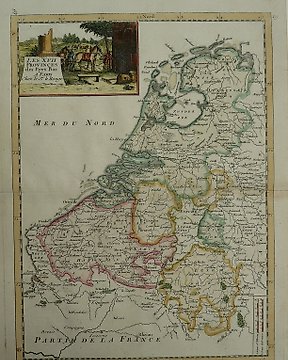
Alankomaat, Kartta - Belgia, Luxemburg; G.L. Le Rouge - Les XVII Provinces des Pays Bas - 1748
Nro. 85309785

Nro. 85309785
23 x 28 cm.
Kopergravure verschenen in; "New Complete & Universal System of Geography". Uitgegeven door Millar in Londen 1783.
Verzekerde verzending.
Näin ostat Catawikistä
1. Löydä jotain erityistä
2. Tee korkein tarjous
3. Maksa turvallisesti


