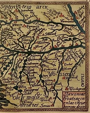
Europa - Schweden / Norwegen / Finnland / Dänemark / Lettland / Litauen / Estland; Frederik de Wit - Regni Sueciae Tabula Generalis Divisa In Suecia, Gotiae Finniae Ducatus Lapponiam,Livoniam,Ingriam. - Um 1680
Nr. 85516263

Nr. 85516263
Timothy Pont map of the district of Lauderdale in southern Scotland, near the confluence of the rivers Lydyrr (River Leader) and Tweed, and includes great detail of the rivers, cities, villages and castles. Situated above Lauder is The Fort, which now is the location of Thirlestane Castle.. Published around 1660 in Amsterdam, with latin text on verso.
Decorated with two large cartouches, and the coat of arms.
Condition: A good print. Paper browned, stained, with wear and with creasing. A few short repaired tears to the margins and a short crack is backed with tape.
Size: Image 395x505mm, total sheet size 475x570mm
Shipping: Insured and with tracking.
So kaufen Sie auf Catawiki
1. Etwas Besonderes entdecken
2. Höchstgebot abgeben
3. Sichere Zahlung durchführen