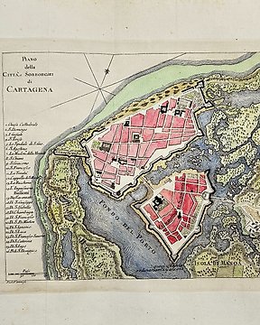
Chronologische Karte, Landkarte - Terrestrische Planisphäre / Weltkarte / Chronologische Karte / Armillarsphären; Clouet, Jean Baptiste - Chronoligic Map: des Climats - 1761-1780
Nr. 84594629

Nr. 84594629
Early map with good detail on the Virgin Islands. Extends from Puerto Rico with Vieques and Culebra until Anguilla and Saint Martin. Below the main map there are 9 inset maps of other islands: Barbuda, St. Kits, Antigua, Dominica, St. Lucia, Barbados, St. Vincent, Grenada, and Tobago. Published around 1780 in Paris.
Condition: Good print and nice color, on hand-laid paper with chainmarks and a watermark. Some creasing, and toning. Margins with some soiling.
Size: Image 320x210mm, total sheet size 400x260mm
Shipping: Insured and with tracking.
So kaufen Sie auf Catawiki
1. Etwas Besonderes entdecken
2. Höchstgebot abgeben
3. Sichere Zahlung durchführen