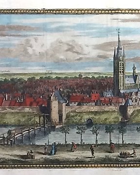
Niederlande, Stadtplan - Horn; M.Z. Boxhorn / Jacob Keyns - 1621-1650
Nr. 84369607

Nr. 84369607
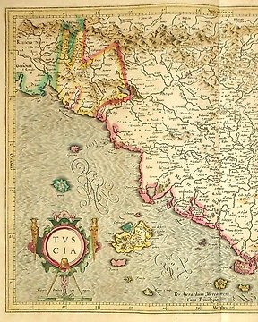
Map 1
Beautiful impression on laid paper.
Detailed map of the French part of Flanders, including Douay, Lille, Doornick, Conde, St. Amand.
Condition is good. Some toning. Original centerfold. Creases and two tears bottom centre.
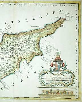
Map 2
Good hand coloured map on laid paper.
Text at the back.
Condition:
A number of lost parts due to ink bistre burning to through the paper. Also some brown stains, especially on edge of the map.
Surface dirt. Vertical centre fold. Tear at 6 o'clock. Extensive tape repairs to recto. Abrasion above St Truyen.
So kaufen Sie auf Catawiki
1. Etwas Besonderes entdecken
2. Höchstgebot abgeben
3. Sichere Zahlung durchführen